A Full-Stack Solution for Alaska
Discover how Armada helped the State of Alaska make mission-critical decisions in real time
to Intelligence
Before Armada
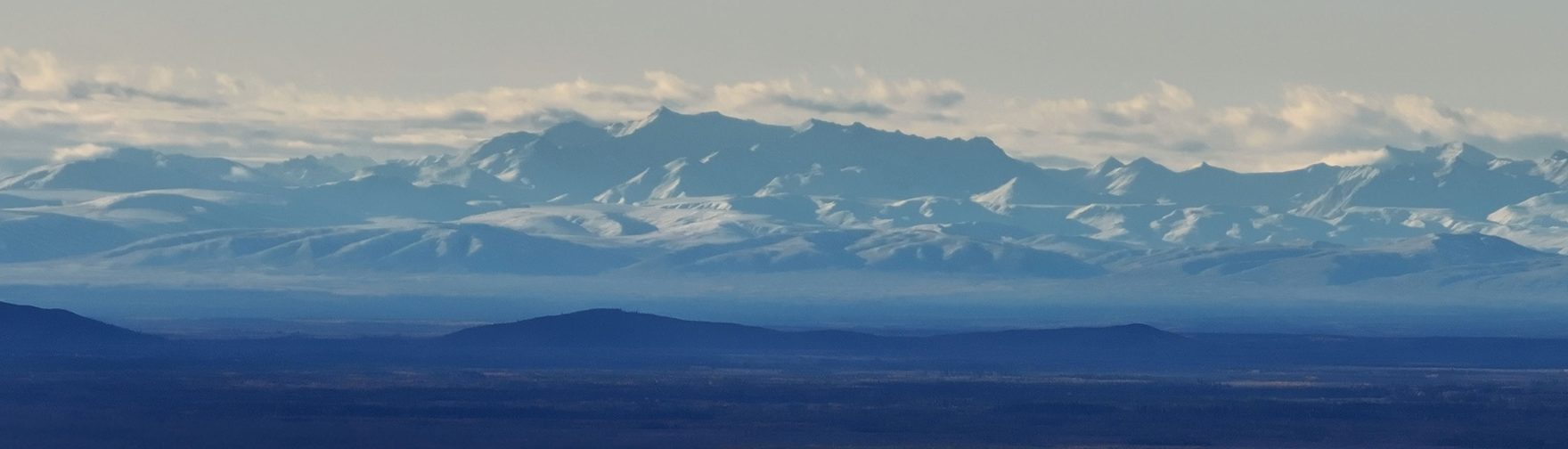
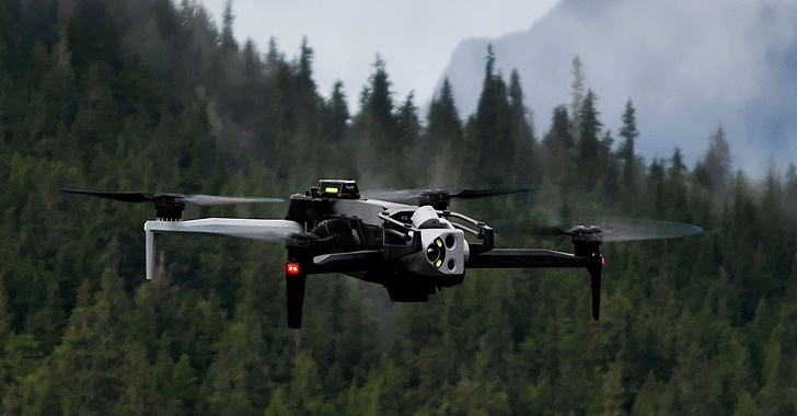
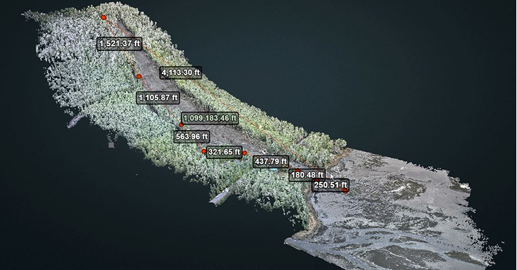
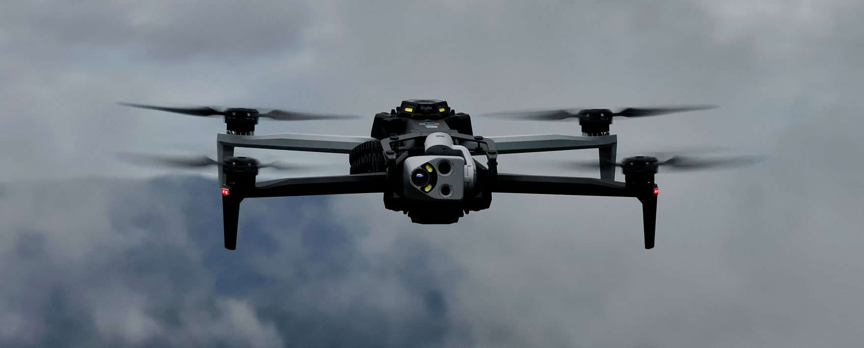
Alaska DOT&PF relies on drone imagery to understand landslides, avalanches, flooding, and other high-risk events across some of the harshest terrain in the country. But their data was trapped behind a slow, fragile workflow: drones filled memory cards, crews drove them into town, and terabytes were uploaded to distant cloud regions for processing.
This routine created 28-hour to multi-day delays between capturing imagery and producing usable terrain models. For seasonal planning this was painful; in an active disaster it was a liability. Crews were already in the field while decision-makers were still waiting for the data needed to keep people safe.
Intelligence Bottlenecks
- Physical movement of data
- Limited backhaul from remote sites
- Dependence on distant cloud compute
to Intelligence
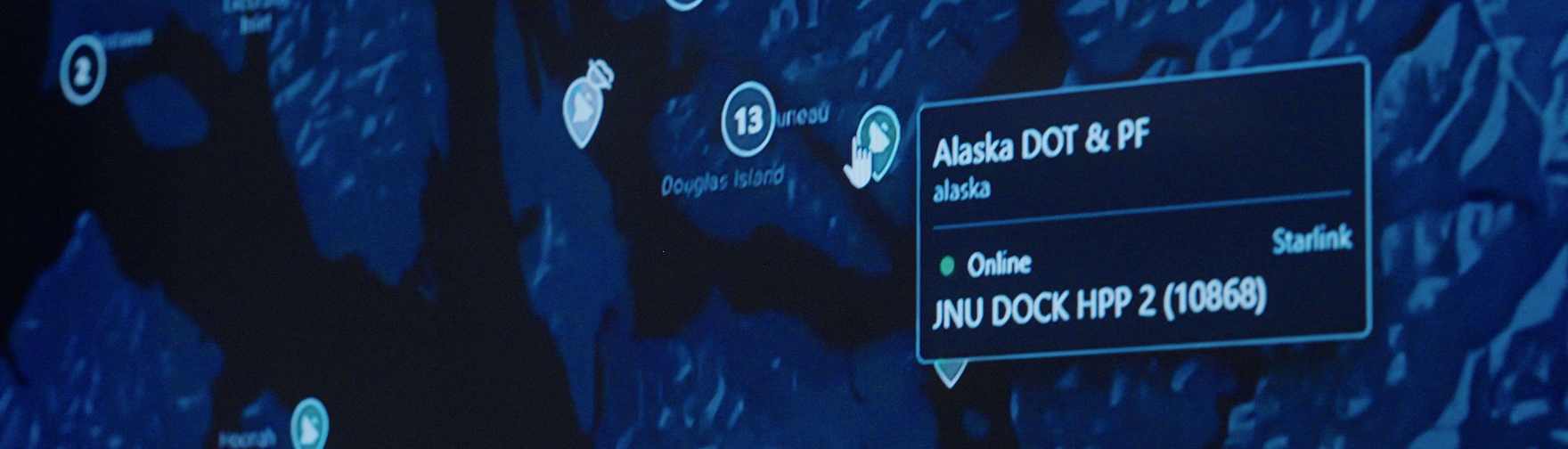
Atlas Brings Connectivity and Awareness
Atlas gave Alaska DOT&PF a unified way to manage connectivity across the state. Instead of relying on improvised links or driving data into town, the team could see every terminal and field system from one operational view, with Starlink fully integrated into their network. Crews were able to upload imagery directly from the field the moment a drone landed.
This change reduced processing time from twenty-eight days to a few hours. For the first time, Alaska DOT&PF could receive updated models the same day an event occurred, creating the foundation for faster, more coordinated decision making.
Intelligence
Galleon Unlocks Real Time
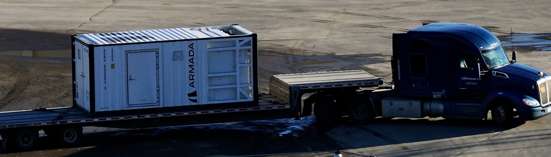
The remaining bottleneck was distance to compute. Even with faster uploads, pushing large datasets to distant cloud regions still introduced delays that were not acceptable during active incidents. Galleon solved this by bringing dedicated edge compute into Alaska. With a single modular data center in Fairbanks running AEP, the department could ingest imagery on site and produce terrain models, point clouds, and AI-assisted analyses immediately.
Workflows that once took days collapsed to real time. Teams could assess hazards, direct crews, and confirm conditions while still on location. For Alaska DOT&PF, Galleon turned geospatial processing from a remote cloud task into a local capability that operates at the same pace as the mission itself.
Before Armada
28 Days
to Intelligence
With Atlas
4 Hours
to Intelligence
With Galleon
Real Time
Intelligence

Armada Edge Platform (AEP)
A Full-Stack Edge Solution

Atlas gives Alaska DOT&PF seamless monitoring of all satellite terminals, drones, and edge compute statewide from a single pane of glass. The platform provides real-time visibility into asset health, status, and location. This ensures bandwidth deploys where needed most during emergency response operations across Alaska's harsh terrain.

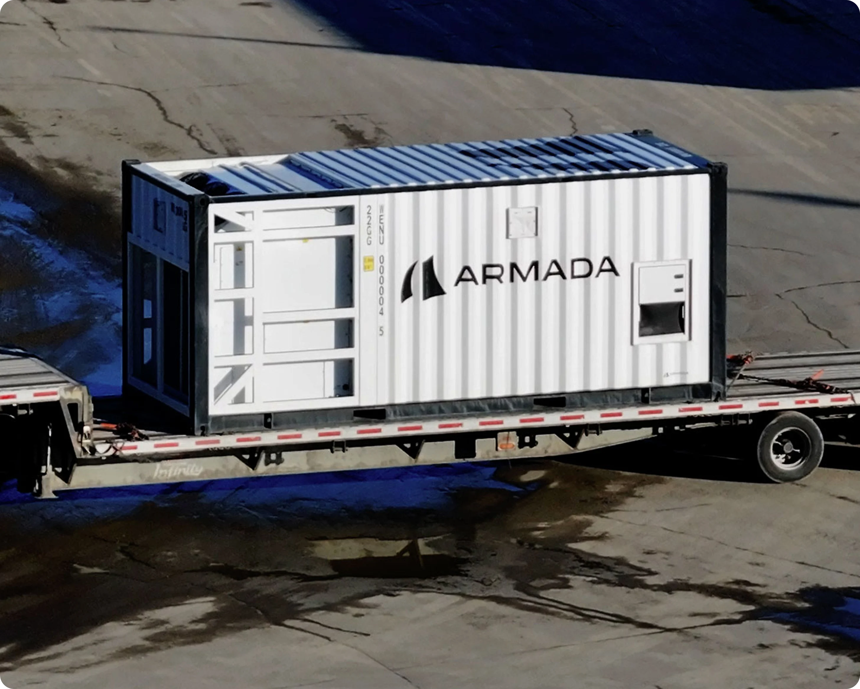
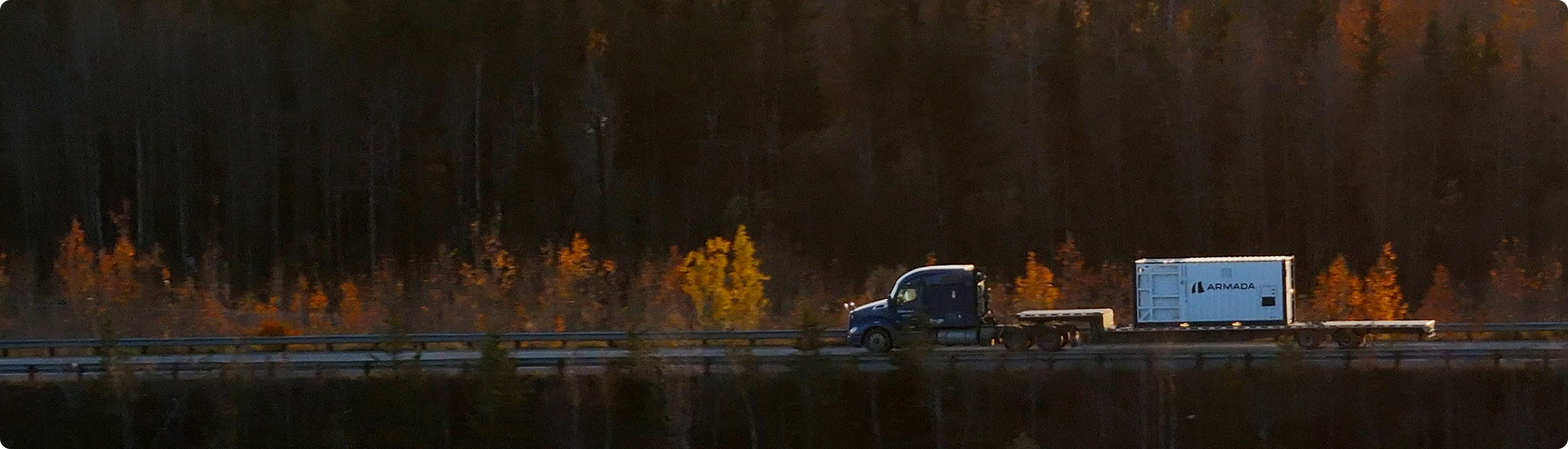
Galleon turned northern Alaska into its own edge compute region. Alaska DOT&PF uses Cruiser, the 20-foot Galleon powered by AEP, to run geospatial workloads locally in Fairbanks. They now generate terrain models and damage assessments in real time without distant data centers.


Marketplace gave Alaska DOT&PF instant access to the hardware and software they need. The hub lets them seamlessly deploy partner apps, such as Skydio and ESRI, directly on Galleon. This turns edge compute into a production-ready environment immediately without building custom deployments for remote operations.


What This Means For You
Implications for Remote Operators
Many remote operators face the same challenges Alaska confronted: data stuck on devices, unreliable connectivity, and long delays before insights reach decision makers. Alaska’s deployment demonstrates how modern edge connectivity and on-site compute can eliminate these bottlenecks and enable faster, more confident action.
Your Challenge
How Alaska solved it with Armada
Data stuck on local devices
Streamed and ingested through Atlas + Galleon
Weak or no backhaul
Managed Starlink through Atlas
Too slow to process imagery
Local compute on Galleon running AEP
No visibility into edge assets
Unified operational map in Atlas
Delayed decisions
Real-time products directly in the field

Contact Us
Schedule Your Demo Today

