From P-Card Sprawl to Split-Second Response: How Washington DNR Manages Connectivity for Wildfire Operations with Atlas
The Washington State Department of Natural Resources manages 5.6 million acres of state land and employs over two thousand people, plus close to another thousand seasonal employees. Firefighters, scientists, divers, pilots, and drone operators operate across terrain where fiber buildouts can cost over a million dollars per installation.
The pressure on all of them is growing. Washington's population has surpassed eight million, and that growth is pushing into fire-prone wildland-urban interface areas. DNR's fire meteorologists have documented the fire season expanding on both ends over the past decade. And DNR crews don't just work in Washington. They deploy nationally and internationally, responding in recent years to wildland fires in LA, Texas, New Mexico, South Dakota, Arizona, Canada, Mexico, and Australia among others.
The agency is being asked to do more, protect more, and respond faster. Against that backdrop, reliable connectivity is what separates a coordinated wildfire response from a catastrophe.
Five years ago, fire camp operations still ran on paper – both for maps and administration. Today, DNR crews rely on internet connectivity to pay firefighters, track fire personnel, report to regulatory and local partners, as well as for GIS overlays, satellite imagery, and real-time drone feeds to decide where to dig a fire break, which roads to evacuate, and where to position thousands of firefighters. Closing that gap required solving a problem that no one had cleanly managed before: how do you bring enterprise-grade connectivity management to one of the most complex, multi-agency, constantly changing operational environments in government?
The Starting Point: Shadow IT at Scale
When Liz Lewis-Lee joined Washington DNR as IT Operations Manager, she inherited 15 years of deferred technology investment. Teams across the state had identified the need for reliable internet connectivity in remote locations. And they did what resourceful people do when there's no official solution: they figured it out themselves.
Field employees were buying Starlink packages on their government procurement cards. The intentions were entirely legitimate. The execution was ungovernable.
"We had 35 separate instances of Starlink that nobody had a complete picture of," Lewis-Lee recalled. "Different budget sources, different purchase records, different people responsible. There was no unified view."
The complexity ran deeper than inventory. Washington state's rules around general contract language created friction around how Starlink could be officially acquired. The perfect storm of new technology and not yet developed governance coupled with need for these tools had resulted in a web of purchases that had to be untangled and regulated. And because each terminal was managed by whoever had bought it, there was no standardized way to know whether any given terminal was online, offline, or operating within policy.
Lewis-Lee's team needed to solve connectivity management as an enterprise problem, not as 35 individual problems scattered across the state. They needed a solution that could centralize visibility across all terminals, support role-based access for rotating IT personnel, track data usage per incident for cost allocation across multiple agencies and budget sources, and do all of this through an interface simple enough for IT Coordinators who aren't network specialists. Armada's Atlas addressed each requirement.
What Fire Operations Actually Require
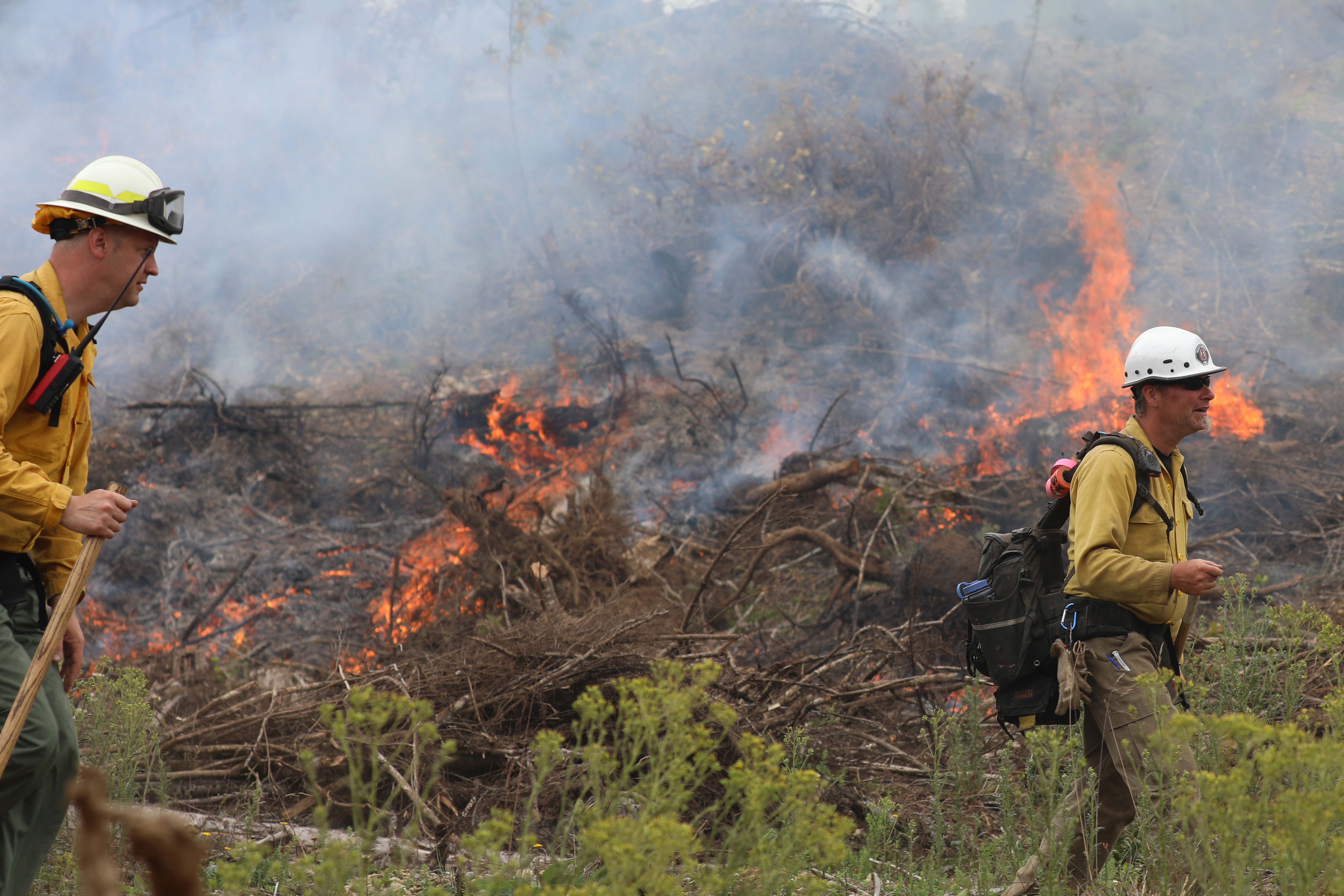
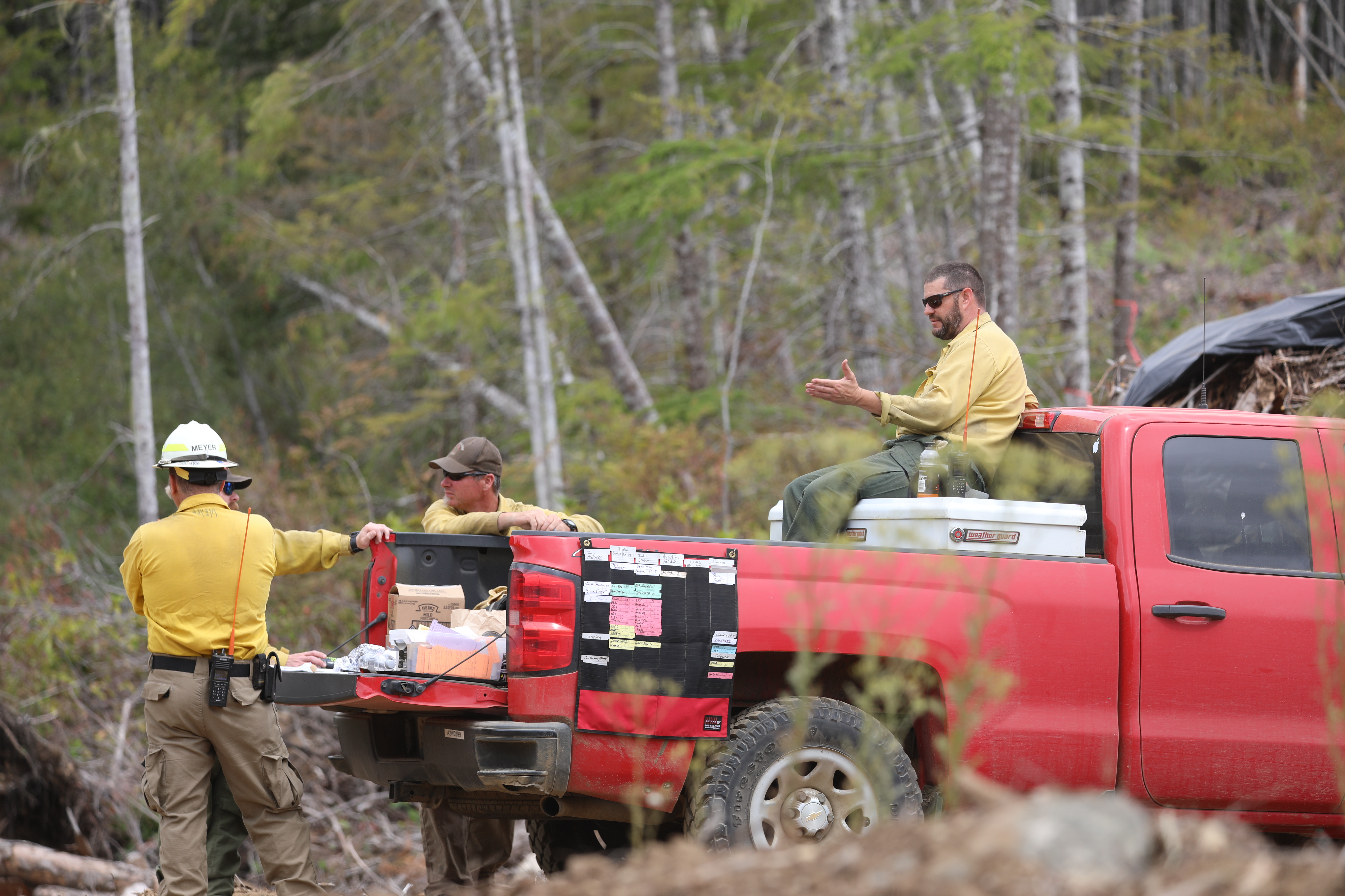
Washington DNR does not fight fires alone. Fire teams are interagency by nature. They’re drawn from DNR, local departments, and federal agencies, assembled from national rosters and rotated every two weeks. A significant fire might involve 200 firefighters. A severe one can involve 4,000. The mix of staff changes constantly, and so does the IT environment they depend on.
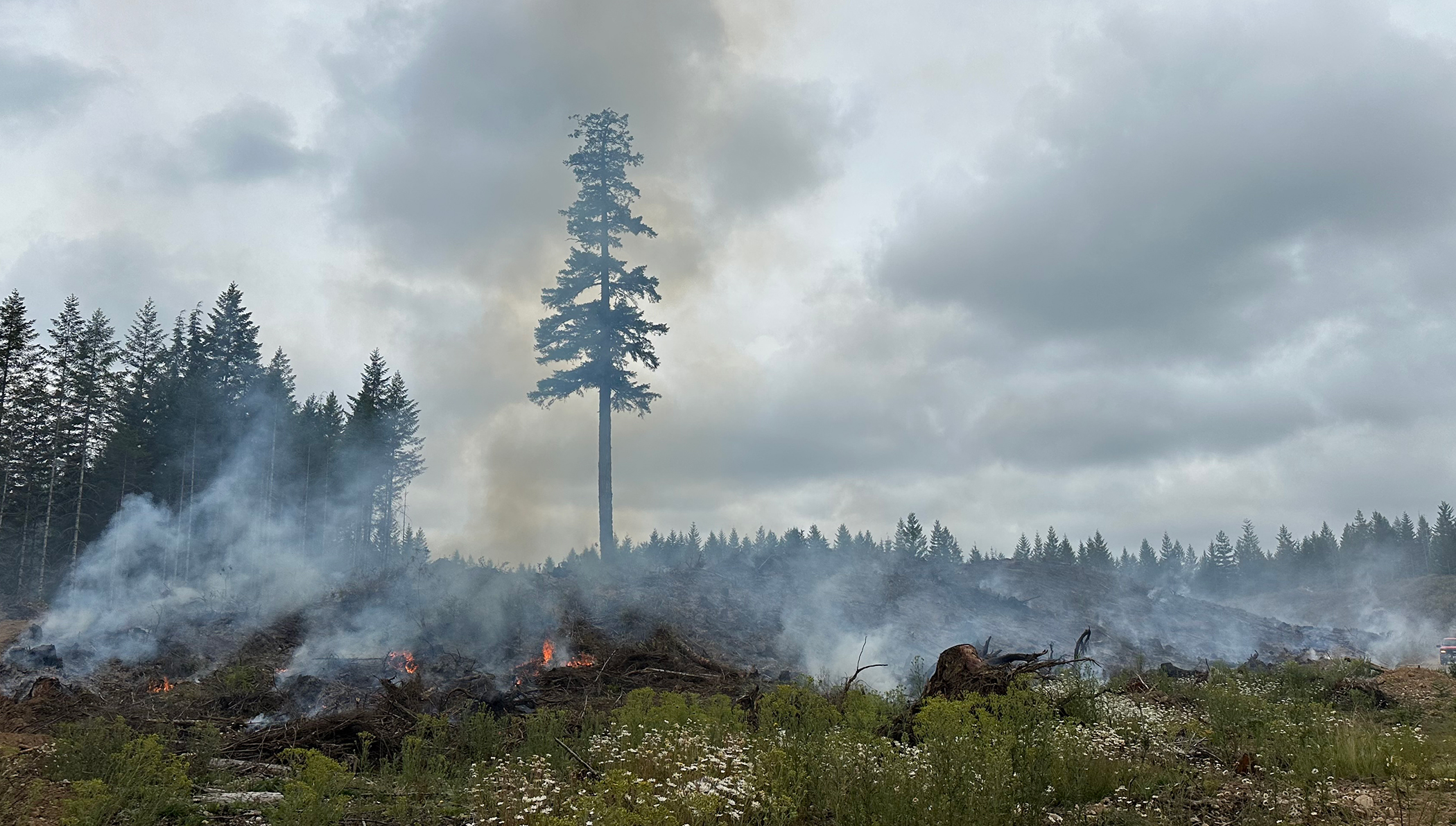
Today, drones fly into active fire zones to identify potential fire breaks before ground crews are committed. GIS data layered with satellite imagery informs evacuation decisions in real time. Fire camps have become forward operating bases for data-intensive operations.
The stakes are concrete. In the past decade, two fire camps were burned over, their crews forced to evacuate when fires shifted unexpectedly. The digital situational awareness that Starlink-connected systems now enable has helped prevent incidents of that kind. But all of that only works if the connectivity underpinning it is reliable, visible, and controllable, and if the IT coordinators cycling in with each new team can manage it under pressure.
Rather than replacing the Starlinks already in the field, Atlas gave DNR a single pane of glass across all of them. Now they have a live view of connectivity assets showing health, status, and location across the state. The network team owns the platform; regional staff own the physical terminals. Atlas gives each group what they need at the appropriate level of access.
"This means the agency no longer has to manage individual credit card transactions, down to a specific fire incident," said Ben Brunner, Network Supervisor. "Atlas consolidates and centralizes management of the Starlink systems, and simplifies our chargeback model. It’s a much better time and cost saving solution than we ever anticipated."
Beyond Fire: Connectivity as Statewide Infrastructure
The wildfire use case is the most visible application, but it represents one piece of a broader connectivity strategy that DNR is now building.
Small offices in remote corners of the state are served by Starlink with VPN connectivity managed through Atlas. Six regional dispatch centers operate around the clock during fire season, each using Starlink as a backup connectivity layer. The infrastructure is starting where the need is greatest and expanding outward.
DNR now manages approximately 45 Starlinks through Atlas, and Lewis-Lee has identified vehicle Cradlepoints as a possible near-term addition, connecting crews moving through terrain with no cell coverage. As connectivity across operating zones becomes more robust, DNR is exploring what other transformational technologies it can bring into the fold, using Atlas as the enterprise platform for all.
"We went from people solving their own connectivity problems on their own P-cards to having a coherent strategy we can actually manage and build on," Lewis-Lee said. "That's a fundamentally different operational position."
Atlas gives state agencies centralized visibility and control over connected assets, but that's the foundation, not the ceiling. With real-time data processing and low-latency operations at the edge, agencies can move from raw data to actionable intelligence, automate critical workflows, and operate with greater speed and precision when it matters most.
To learn how Armada Edge Platform can support your agency's connectivity needs, schedule a demo.
